
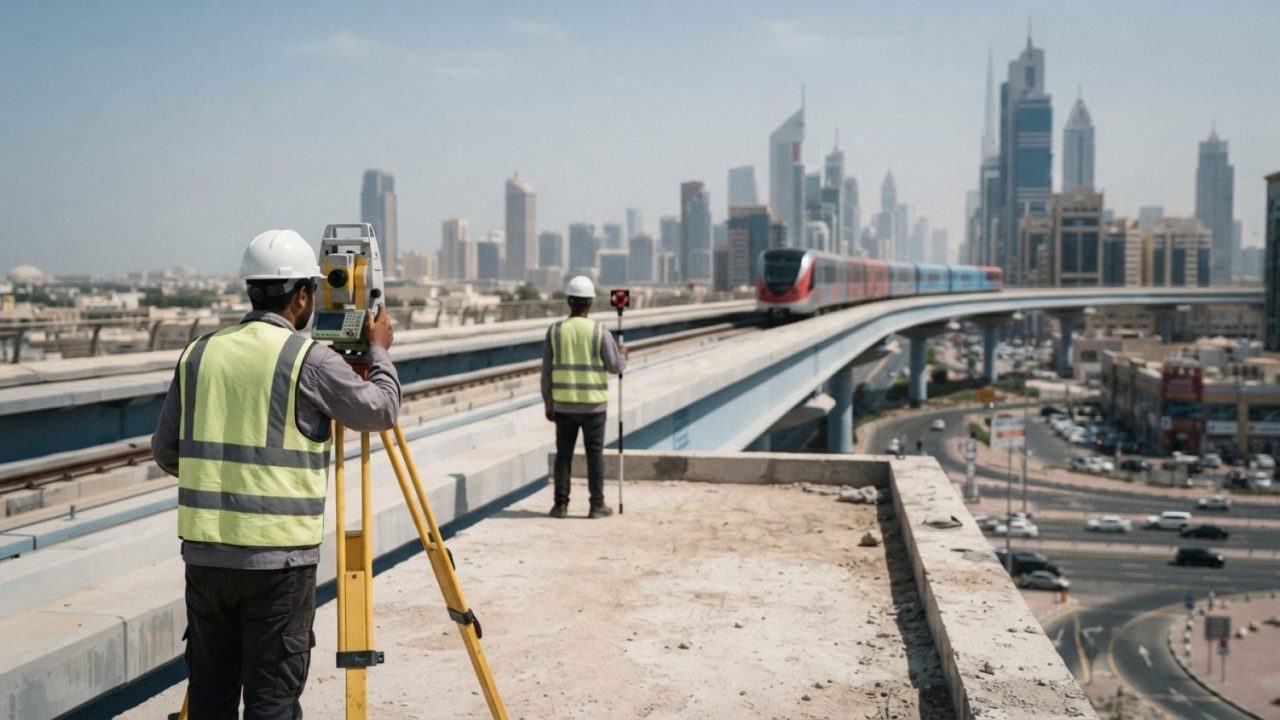
The survey team of the Mapa Limak CRRC Consortium—a partnership between Turkish contractors MAPA and LIMAK and Chinese rolling stock manufacturer CRRC—has implemented advanced 3D laser scanning technology for the Dubai Metro Blue Line expansion, according to Tunnel Business Magazine.
Led by Senior Survey Manager Murat Pehlivan, the team deployed Topcon CR-P1 laser scanners alongside GT-1200 robotic total stations. The instruments enabled surveyors to achieve positional accuracy of under 5 millimeters, generating detailed point clouds to support engineering design, Building Information Modelling (BIM) coordination, and construction planning.
During a three-month campaign, the survey captured existing stations connecting to the planned expansion, including Creek and Centrepoint (formerly Rashidiya) stations, each measuring between 13,000 and 14,000 square meters. The team also mapped the 150,000-square-meter R11 multi-storey parking facility, covering interior and exterior spaces, pedestrian footbridges, parking decks, and bus transit zones.
The Dubai Metro Blue Line spans approximately 30 kilometers and will feature 14 stations across elevated viaducts and underground segments. The project will incorporate Dubai Metro's first bridge crossing over Dubai Creek and an iconic 74-meter-high elevated station at Dubai Creek Harbour, with full commercial opening scheduled for September 2029.
Sources
- Tunnel Business Magazine · 2026-10-22